
Rahway Previous Residents by Era
Different sources carry a Rahway address through different periods. Begin with the current parcel identifiers, then choose a dated source that fits the period being researched. The online deed index and the physical land-record room have different coverage. Directories, newspapers, and maps have their own year-by-year gaps. This table keeps those limits visible before a name is carried from one record to another.
| Source | Years It Covers | Where Held | What It Shows |
|---|---|---|---|
| Assessment roll | Annual certification snapshot | Rahway Tax Assessor and statewide assessment search | Tax-roll owner, block/lot, value, tax, and class as certified |
| UCPA online index | Displayed June 1, 1977 through August 25, 2026 during research | Union County Clerk online | Party searches, recorded metadata, and published images |
| Union Clerk land room | 1857-present | Elizabeth record room | Conveyances and other instruments beyond online image availability |
| Directories and local newspapers | Year-specific; 1870 scan and 1937 sample among identified leads | Library and institutional collections | Printed names, address references, businesses, notices, and obituaries |
| Sanborn maps | 1901 and 1908 Rahway items | Library of Congress | Structures, uses, street labels, and numbering context |
For a recent address, start with the assessment block and lot, then look for the matching recorded instrument. For a much older question, begin with a dated printed source or map and work toward the land room with the original street number and historical jurisdiction written down. A source with a name is a lead until its date, address, and role agree with another record.
Start Rahway Past Residents With Parcel Facts
The current assessment entry gives the starting coordinates for a backward address trail: address, municipality, block, lot, assessment fields, and any tax-roll owner displayed. Rahway’s linked public assessment view can be searched by address, property, or name. It omits room count, building class, and the residential cost approach, so those omitted details should be requested from the property record card rather than filled in from another source.
Use the Union County Public Map Service or NJGIN Property Explorer to compare the address with parcel geometry, block and lot, roads, and other map layers. NJGIN accepts address, county, municipality, block, and lot fields. The map is not a survey, and hosted owner names may be redacted under Daniel’s Law. The parcel identifier is the stable bridge to a deed’s legal description when a street number changes.
Note: The current assessment is a dated tax-roll snapshot, so a later transfer may require deed confirmation.
Read Rahway Grantor and Grantee Roles
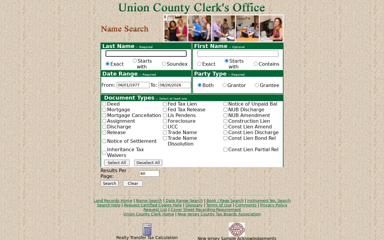
The Union County Clerk Document Index has Name Search, Date Range, Book/Page, and Instrument Number routes. Name Search uses a surname, date range, party type, and at least one document type. The surname options are Exact, Starts with, and Soundex. First names can be Exact, Starts with, or Contains. Instrument Number Search uses year, prefix, instrument number, and suffix. Those fields let a researcher confirm a known transfer without treating an address alone as the only identifier.
Grantor and grantee identify the parties’ roles in a recorded transfer. Start with a current owner or known party, find the deed in which that person acquired the property, and note the prior transferring party. A mortgage, lien, assignment, discharge, foreclosure, or similar instrument can connect a person with a property record, but it is not the same as a deed and is not evidence that the named person lived at the address.
The UCPA name-search screen shows the party-search controls used to locate that dated record.
Save the party role, document type, recorded date, instrument number, book/page when shown, and image availability with every result.
Rahway Previous Residents and the Deed Chain
The deed chain is the ownership layer of a previous-residents search. It moves backward from the present parcel to older recorded transfers. The Clerk’s online index displayed a later starting point than the land room: June 1, 1977 through August 25, 2026 during research, with pre-January 1986 images still being added. When a search finds metadata but no image, the land room or copy request remains the documented next step.
- Record the current assessment address, block, lot, and displayed tax-roll owner, then compare the parcel to the legal description in the first matching deed.
- Find the acquisition deed for the current named party and preserve the grantor, grantee, recording date, document type, and instrument or book/page number.
- Search the seller as a grantee to locate the earlier acquisition, using a date range and the appropriate party role.
- Repeat the sequence one transfer at a time, retaining the address form and legal description instead of forcing a later street number onto an earlier record.
- When the online index or image stops, take the dated metadata to the Union County Clerk record room, which reports land transactions from 1857 forward.
- Grantor / grantee
- The grantor transfers an interest in the instrument; the grantee receives it. Their roles matter when moving backward through a deed sequence.
- Chain of title
- The sequence of conveyances and related instruments used to trace ownership of a property over time.
- Legal description
- The property description recorded in the instrument. It is often a stronger link than a street address when numbering has changed.
Certified deeds cost $8 for the first page and $2 for each added page under the Clerk’s documented schedule. Confirm the current fee before ordering. A certified copy verifies the instrument requested; it does not convert a party name into proof of personal occupancy.
Convert a Rahway Address Across Maps
Rahway Chapter 157 recognizes the Official House Numbering Map revised August 25, 1964 and the Official Tax Atlas as legal numbering references. Its baseline and ten-foot-unit system places odd numbers on the right and even numbers on the left when traveling away from the baseline. The City Engineer determines the correct number. Use the numbering code and the official map before rejecting a historic listing that appears to use a different number.
A documented renumbering requires a full-block map, notice to owners or publication, Council action, and an authenticated filing with the City Engineer. Retain the old number, date, nearby intersection, new number if known, and evidence for the connection. No official source located a citywide pre-1964 conversion date. Do not assign one without a primary municipal map or record.
Rahway Previous Residents in Print
Printed material can supply the household layer that a deed does not. The Rahway Public Library’s DigiFind-It collection points to local newspapers and obituaries, including a digitized 1937 Rahway Record sample. A dated newspaper may place a name, event, organization, business, or street reference in local print. Record the title, date, page, original spelling, and whether the finding came from the scan or OCR.
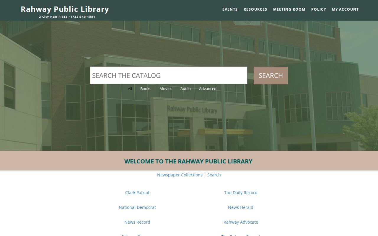
The library collection is a practical route when an address trail needs a date-labeled local source, not a substitute for a property instrument.
The 1870 combined directory has a Rahway section around page 274. An 1898 Holbrook directory is a lead that needs catalog verification, and later Rahway directory years are leads rather than confirmed complete runs. Pair a directory year with a separately verified census record from a nearby date when one is available, then compare the name and place with a dated newspaper or obituary. No exact local census-access route was established in the research. The Rahway Directory Book focuses on the identified collections themselves.
Note: A directory entry records what was printed for that year, not continuous residence or legal ownership.
Rahway Previous Residents and Family Evidence
The Library of Congress lists Rahway Sanborn maps for 1901 and 1908. They can show structures, footprints, materials, uses, street names, and numbering context. Compare the same block across editions before connecting printed address evidence to a building. A map change is evidence about a structure, not a reason to infer a person.
When a dated life event is needed for family history, the City of Rahway’s Genealogical Records route is governed by access rules, not an open address search. The local page describes historical requests through New Jersey’s 80/50/40-year thresholds for births, marriages, and deaths, with the subject deceased. Use the official application path when eligible, and keep a vital-record event separate from an address claim.
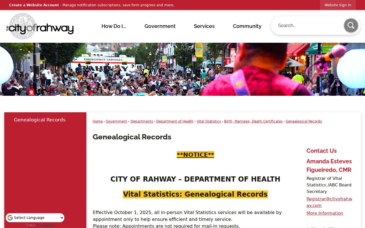
That official local route helps document an eligible event, while the dated deed, directory, or newspaper supplies the address-specific evidence.
Rahway Previous Residents Across Counties
Older previous-residents searches need Rahway’s changing jurisdiction in the search notes. Rahway Township was created on April 9, 1804. Rahway became a city on March 12, 1858, and the whole city was placed in Union County in 1860. Earlier material can therefore be indexed under Middlesex County, Rahway Township, or one of the older local labels such as Upper Rahway, Lower Rahway or Bridge Town, Leesville, and Milton.
Search the source’s own historical place name as well as the modern one. Preserve the label shown in a record, then add a separate modern cross-reference. This geography check can explain an otherwise missing name or address without creating a false match between two places with the same modern street reference.
Note: Retain the original jurisdiction label in historical notes to make an older filing easier to retrace.
Rahway Previous Residents Evidence Limits
Previous residents of a Rahway address are established through a dated combination of sources, not one broad search. A deed names transfer parties. An assessment identifies a certified tax-roll owner. A directory or newspaper records a printed association for its date. Sanborn maps show the built setting. Probate, obituary, and archival leads can extend a family-history trail, but each needs its own date and context. The research did not locate an official searchable cemetery register or a complete reverse-directory collection for Rahway.
Keep claims narrow: “named in a recorded deed,” “printed at this address in a dated directory,” or “shown on a map sheet.” If the evidence only supports one of those statements, do not turn it into a conclusion about who lived here before. The Union County Clerk’s record room, the Rahway library, the New Jersey State Archives, and historical-society leads are the documented fallbacks for gaps in online material.
Lawful use. Use Rahway previous-resident records for personal or family history and civic research. Do not use the information to stalk, harass, track, intimidate, or harm any person.